Turn me to see me properly
Thank you!

Municipality of Espinelves, in the Catalan Pre-Pyrenees

The most effective way of seeing the impact a rural exodus has on forest spread is from above

1956 2021
Una comparativa realizado por: Mikel Konate

October 5, 2023

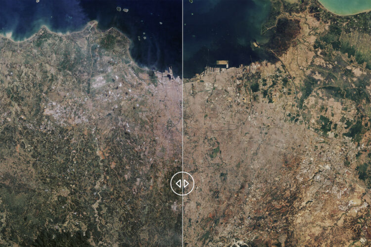
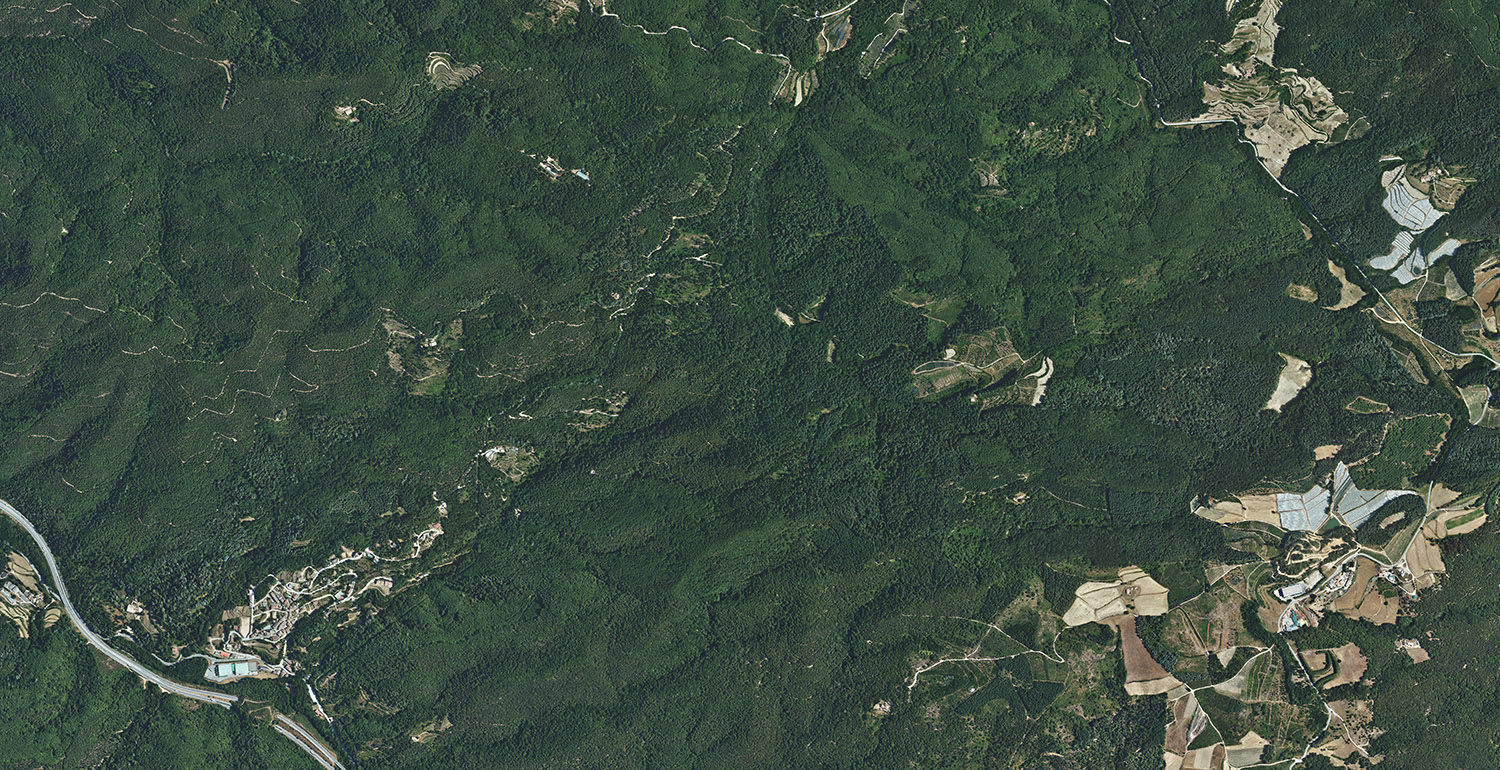
This comparison shows the territory surrounding the municipality of Espinelves, in the Catalan Pre-Pyrenees, Spain, photographed from the air in 1956 and in 2021. By comparing both images, it is clear that the abandonment of farmland has led to an increase in forest cover.

Most experts agree that one of the major risk factors behind large wildfires is the continuity of forests. In the context of mega fire danger, unmanaged and abundant tree areas are an enemy hiding in plain sight.

To learn more about forest continuity and its relationship with mega fires on the Iberian Peninsula, you can visit our report: Fuelling a Mega Fire

Credits

1956: American Flight Series B / National Geographic Institute
2021: Five-Year Flight / National Geographic Institute

Crowdfunding

Un medio sin ánimo de lucro

Periodismo visual, en profundidad, sobre la crisis climática

Donate here

Support visual journalism on the climate crisis

In-depth journalism is not economically profitable.

But it needs to exist.

Donate

Explore the climate crisis through our categories

Find out how each element impacts on our planet and how you can help

This website uses cookies
This website uses cookies to improve the user experience. By using our website, you agree to all cookies in accordance with our cookie policy.
Accept all
Reject all
Show details